So, if somebody is interested, here some facts about Costa Rica:
Costa Rica is located between latitudes 8 and 12 degrees N and longitudes82 and 86 W. It borders the Carribean sea (to the east) and the Pacific Ocean (to the west), with a total of 1,290 kilometers of coastline, 212 km on the Caribbean coast and 1,016 km on the Pacific. Costa Rica borders Nicaragua to the north (309 km of border) and Panama to the south-southeast (330 km of border). In total, Costa Rica comprises 51,100 square kilometers plus 589 square kilometers of territorial waters.
The highest point in the country is Cerro Chirripo, at 3,819 meters, it is the fifth highest peak in Central America. The highest volcano in the country is the Irazu Volcano (3,431 m ) and the largest lake is Lake Arenal. There are 14 known volcanoes in Costa Rica, and six of them have been active in the last 75 years.
Costa Rica also comprises several islands. Cocos Island stands out because of its distance from the continental landmass, 480 km from Puntarenas, but Calero Island is the largest island of the country (151.6 square kilometers). Over 25% of Costa Rica’s national territory is protected by Sinac (the National System of Conservation Areas), which oversees all of the country’s protected areas. Costa Rica also possesses the greatest density of species in the world.
Around 25% of the country’s land area is in protected national parks and protected areas, the largest percentage of protected areas in the world. We will provide more info about the parks, once we will visit them.
Because Costa Rica is located between 8 and 12 degrees north of the Equator, the climate is tropical year round. However, the country has many microclimates depending on elevation, rainfall, topography, and by the geography of each particular region.
Costa Rica’s seasons are defined by how much rain falls during a particular period. The year can be split into two periods, the dry season known to the residents as summer, and the rainy season, known locally as winter. The “summer” or dry season goes from December to April, and “winter” or rainy season goes from May to November.
The location receiving the most rain is the Caribbean slopes of the Central Cordillera mountains, with an annual rainfall of over 5,000 mm (196.9 in). Humidity is also higher on the Caribbean side than on the Pacific side. The mean annual temperature on the coastal lowlands is around 27 °C (81 °F), 20 °C (68 °F) in the main populated areas of the Central Cordillera, and below 10 °C (50 °F) on the summits of the highest mountains.
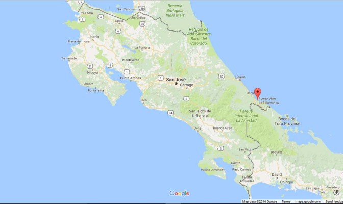
Just to let you know, we of course, had to start out on the Caribbean side, because as a Yukoner it is so easy to get used to the heat and almost 90 % humidity.